
Looking south down Yonge Street, at Teraulay Street, towards the Imperial Theatre, circa 1971. Teraulay Street was closed in the late 1970s and is now occupied by part of the Eaton Centre. The Imperial Theatre is currently the Canon Theatre.

The former North Toronto Station circa 1975, serving as a Liquor Control Board outlet. The clock on the historic clock tower has been replaced with a modern clock with the National Trust logo.

Row of shops at Yonge and Yorkville, circa 1975.
Yonge and College Streets, 1979.

The former C.J. Frogley Bakery building at 850 Yonge Street, looking northwest towards Yorkville Avenue, circa 1973. The two buildings in the foreground (the Frogley building containing a closed sewing centre, and the building next door with a hearing aid shop) still exist, with the red Frogley building (since repainted) having been home to a cookbook store for many years (which closed in 2014 to make way for a residential condominium building). The grocery store on Yorkville Avenue, in the background of this photo, became a Loblaws, and was demolished to make way for a park and a residential condominium.

PCC streetcar on College Street at Yonge, 1979.
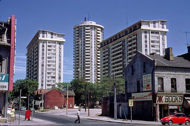
Yonge Street looking east on Maitland Street. 1960s-era Village Green development visible in background, circa 1975.

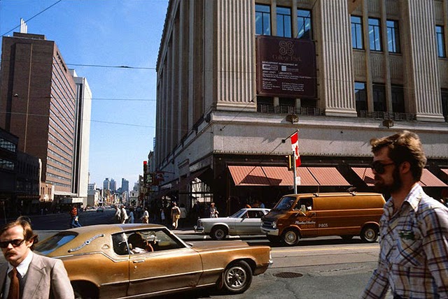
Yonge and Gould Streets, looking north-east, circa 1979.

The William Reynolds Block at Yonge and Gould Streets in Toronto, circa 1979.

The west side of Yonge Street, immediately north of Albert Street, with the old Eaton's Main Store visible south of Albert Street, circa 1971.